

Rail and Bus Network Maps
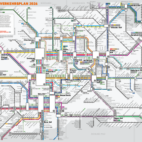
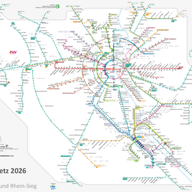
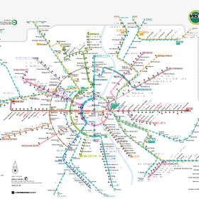
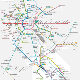
Overview of all subway, S-train, light rail, and rail lines and their stops in the VRS area—click to view or download.
The rail network and selected bus networks—such as those in Leverkusen, the Rheinisch-Bergischer Kreis, the Rhein-Erft-Kreis, and the Oberbergischer Kreis—are available here as interactive maps you can click on. Find your route or stop—and get a wealth of information in no time, such as a map of the area, fare information, upcoming departures, and more...
Tip: You can also enter the selected stop directly into the schedule search as your starting or destination stop and search for connections between two specified stops.
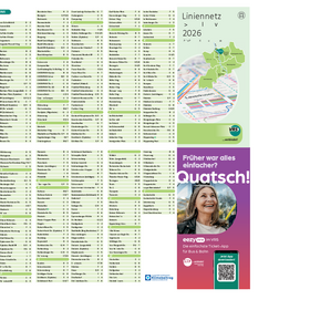
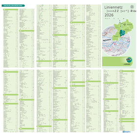
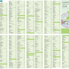
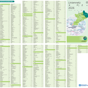
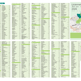
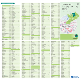
Alternatively, you can download all rail and bus network maps here, which include information on route maps, stops along the routes, and transfer options:
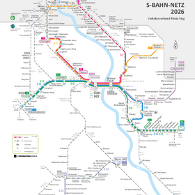
The VRS Rail Network – Various Editions
The VRS Bus Network – Regional Editions
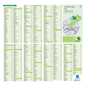
For information on schedules and route networks in NRW’s regional transit system that goes beyond the VRS, see the NRW Regional Transit Plan and the NRW Schedule Book, or download them here: